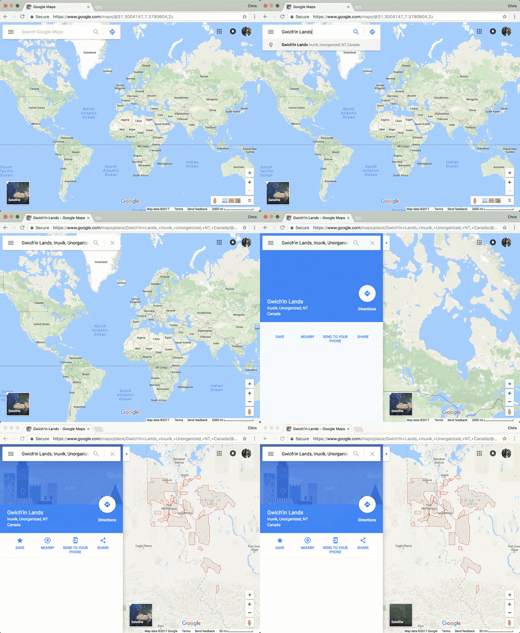
Over 3,000 Canadian Indigenous Lands have been added to Google Maps and Google Earth today, a step that Google’s Tara Rush as essential in “reflecting Canada to Canadians and to the world.”
The addition is the result of seven years of collaborative work between Indigenous communities and Google Earth Outreach.
Rush, who is Kanien’kehá:ka from Akwesasne, states the project has its origins in mapping workshops with Indigenous communities beginning in 2014. That community data was then combined with data from Natural Resources Canada.
“Indigenous peoples are often underrepresented on Canadian base maps, and this was made apparent during our annual Indigenous Mapping Workshops,” stated project partner Steven DeRoy, an Anishinaabe cartographer and director of Firelight Research, in Google’s blog post.

“We are thrilled to see Google recognize Indigenous peoples by integrating Indigenous lands as an important fabric of Google’s base maps.”
Rush notes in the post that if more Indigenous communities would like to add their lands to Google Maps, or want to update information, their government can contribute the data via the Base Map Partner Program, while individual community members can also use the Send Feedback tool for the same purpose.
At the end of her post, Rush notes that Canada has more than 1.4 million people self-identifying as First Nations, Métis or Inuit per the 2011 National Household Survey, 600 bands and 3,100 reserves.
The project’s release coincides with National Aboriginal Day, which is this year being promoted as part of ‘Canada 150’ — an initiative that has been criticized for largely leaving out Canada’s aboriginal history from its celebration of the country.
Source: Google
MobileSyrup may earn a commission from purchases made via our links, which helps fund the journalism we provide free on our website. These links do not influence our editorial content. Support us here.


