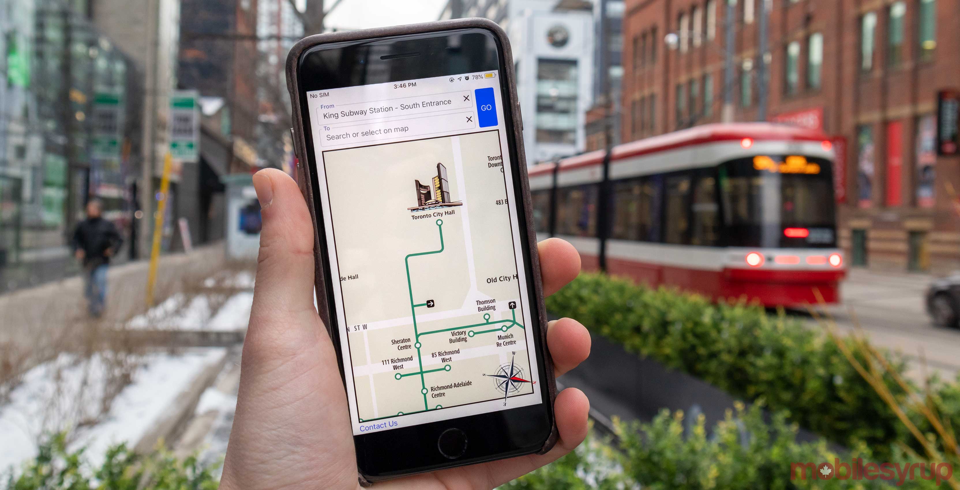
There is now an easy way to navigate Toronto’s PATH tunnel system with a new third-party app called Pathmap.
Pathmap.ca is a third-party map that came out this past July help Torontonians navigate the underground PATH tunnel system, and now there is an app for it.
The app arrives just in time for winter when visitors and residents will be using PATH more.
The app works just as well as the mobile website, but now it’s a bit more streamlined since it’s an app.
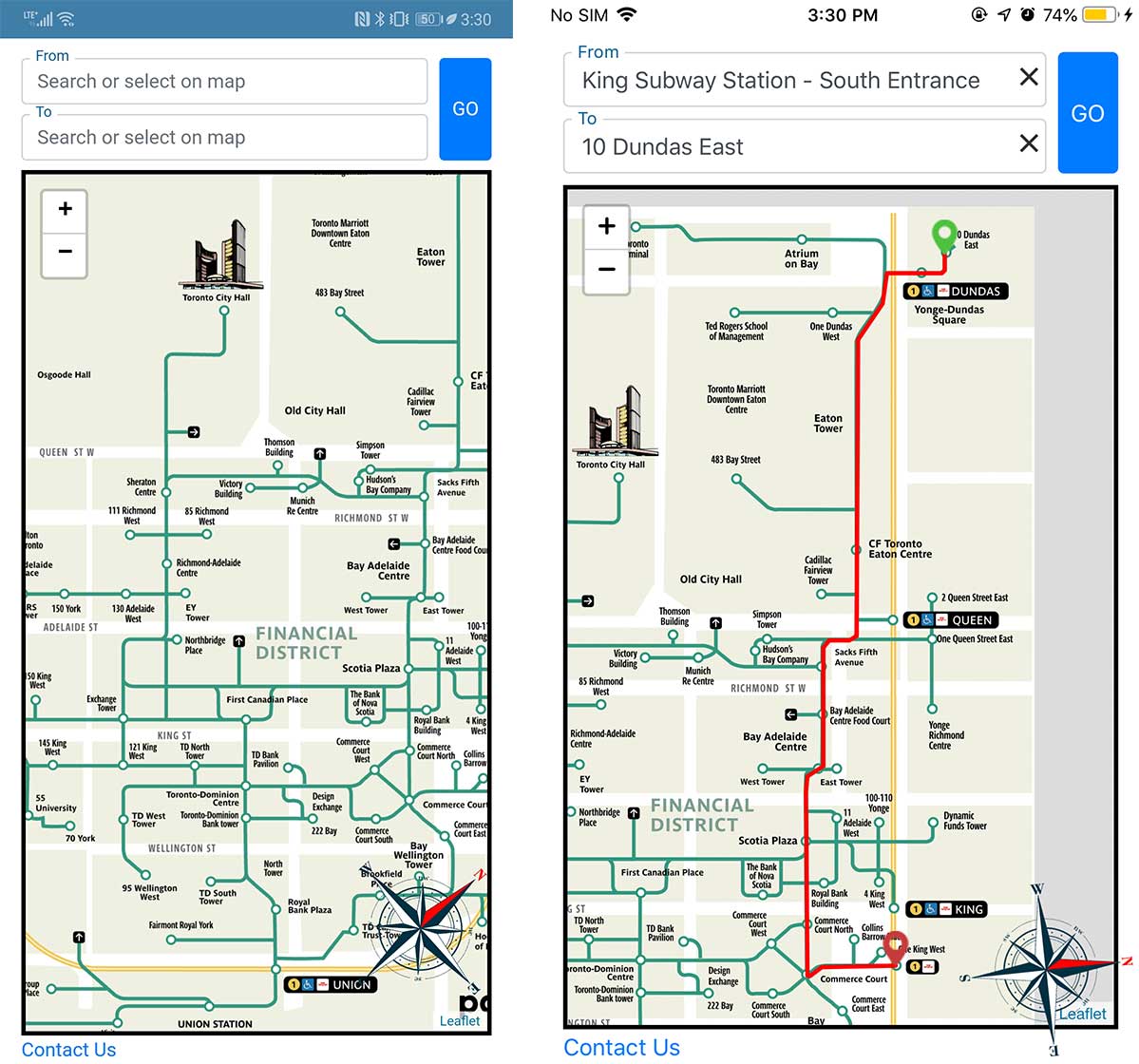
Using the app is easy, type in ‘From’ and ‘To’ locations and the app will then show you a red highlighted route on the map. Unfourtantly there is no step-by-step navigation, but since most of the PATH is underground GPS navigation wouldn’t work well anyways.
The app does seem to work well, and users can even type in searches like “Tim Hortons” or other locations that are in the PATH and get directions to them. That said, there’s no legend to tell you what’s searchable, so it may take a bit of trial and error to find the place you want.
You can download Pathmap for iOS here and Android here.
MobileSyrup may earn a commission from purchases made via our links, which helps fund the journalism we provide free on our website. These links do not influence our editorial content. Support us here.


