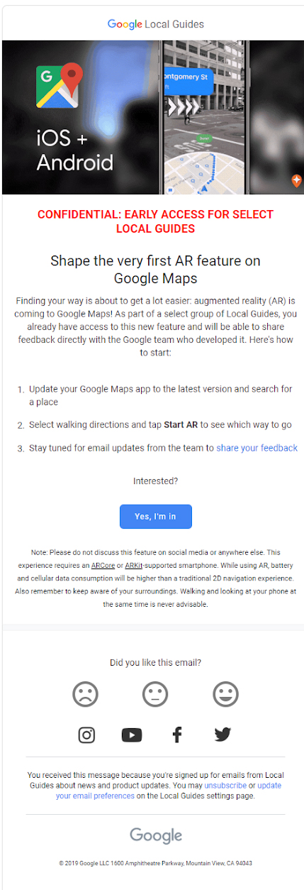
Google Maps’ upcoming augmented reality (AR) navigation feature is currently being tested by a number of ‘Local Guides’ across the platform’s iOS and Android app, according to various reports and a reader-submitted tip to MobileSyrup.
The app’s still-in-development AR update layers augmented reality walking direction overlays and business listings on top of a live camera view. The idea behind these physical AR directions is to help Maps users navigate around large cities given how notoriously inaccurate GPS is in urban environments.
Above is a brief reader-submitted video showing Google Maps’ new AR features in action.
In theory, if your smartphone’s GPS happens to be acting a little wonky, these AR arrows and other signage should help you get to where you’re going more smoothly.
Google is testing the feature across both iOS and Android simultaneously. Those who are part of the program also need smartphones compatible with ARCore, Google’s augmented reality app development framework, or ARKit, Apple’s competing AR toolkit.

Those participating in the beta test have also been told by Google to update their app to the latest version of Google Maps, though the feature is enabled through a server-side update.
Local Guides are Google Maps users that participate in the platforms’ crowd-sourced features, including adding reviews, sharing photographs and updating location information.
Google’s ‘Local Guides’ Maps system features 10 levels, with 9to5Google reporting that only higher-tier members getting invited to test out the platform’s upcoming AR features.
Thanks to the reader who submitted the tip. MobileSyrup has omitted the reader’s name so they don’t get removed from the beta program.
Image/video credit: reader-submitted tip
Via: 9to5Google
MobileSyrup may earn a commission from purchases made via our links, which helps fund the journalism we provide free on our website. These links do not influence our editorial content. Support us here.


