If you’ve found yourself waiting in line outside a grocery store in the last few weeks, you aren’t alone.
With increased physical distancing measures and stores restricting how many customers can come in at one time due to COVID-19, it isn’t uncommon to find yourself lined up outside.
Thanks to a new online tool, however, you may soon be able to avoid waiting in line.
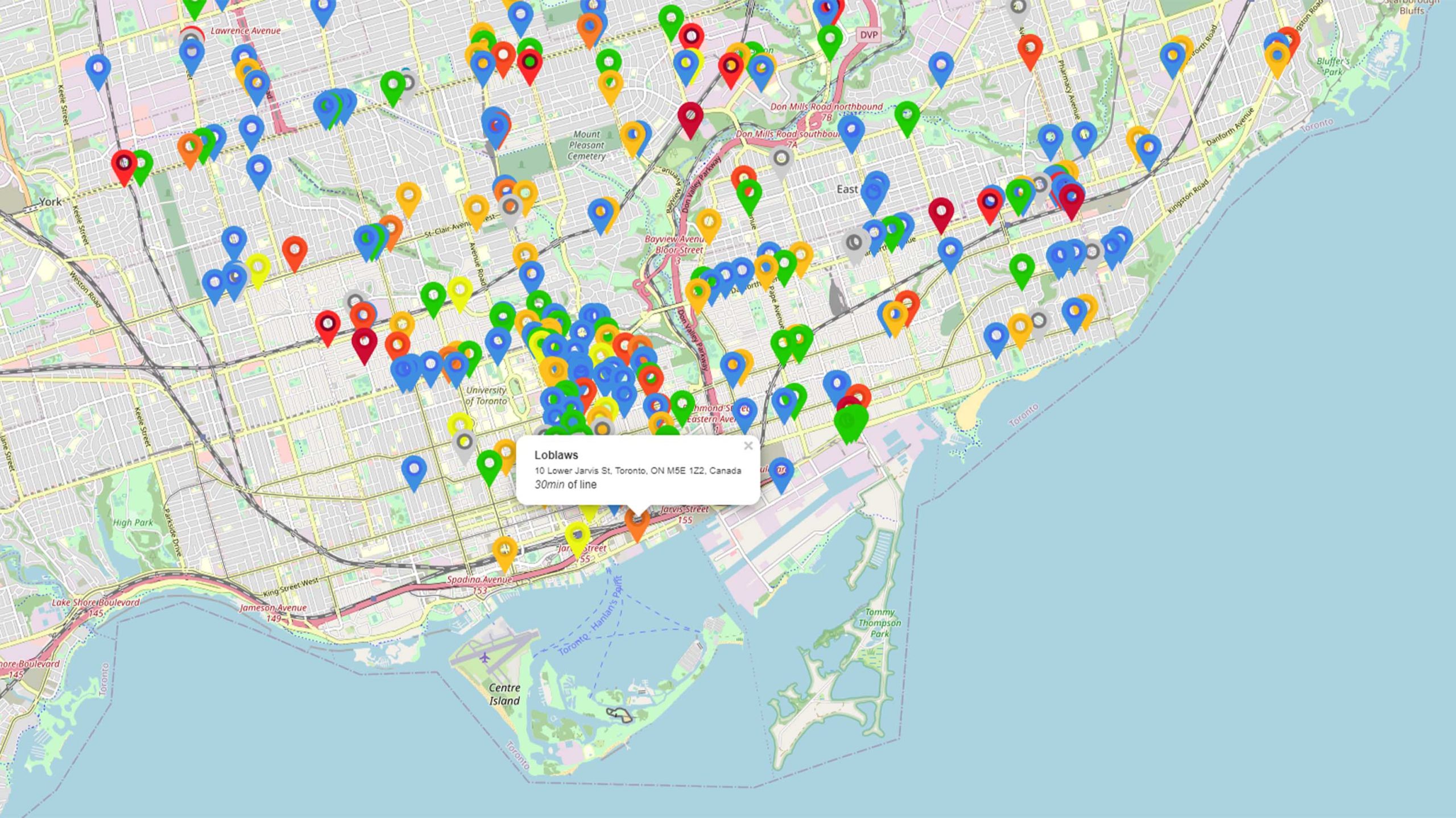
An interactive map from developer Miki Lombardi displays estimated wait times at nearby grocery stores and pharmacies. Stores are marked on the map with colour coded pins. The colours correspond to the estimated wait times.
In the project’s description on GitHub, Lombardi explains that he made the tool to help people avoid large gatherings in a supermarket. Further, Lombardi says that the project isn’t for commercial use.
The map leverages real-time data from Google, such as what the search giant uses to power its traffic functions in Maps. However, Lombardi notes that while the tool can give users an idea of how long the wait will be, it’s not perfect. It also doesn’t use Google’s official APIs.
Unfortunately, the tool isn’t able to get data about every grocery store location. Blue markers represent open locations with no data about wait time, while grey markers represent closed stores.
Still, the tool appears to cover most of the world, including Canada. And even if the line estimates aren’t wholly accurate, the map can still help find places with a shorter wait time.
You can learn more about how Lombardi’s map works on the project’s GitHub page. You can access the map itself here.
MobileSyrup may earn a commission from purchases made via our links, which helps fund the journalism we provide free on our website. These links do not influence our editorial content. Support us here.


