
During its Worldwide Developer Conference, Apple unveiled new features in iOS 9 that brought welcomed improvements to the company’s Maps app, including detailed transit information for buses, subways, trains, and step by step walking directions with estimated walking times.
Toronto was the only Canadian city mentioned during the keynote, but it seems that other Southern Ontario cities have been implemented into Apple’s new Maps feature. Apple’s site mentions transit agencies from Mississauga, Oakville, Brampton, York Region (Aurora, Markham, Newmarket, Richmond Hill, Vaughan), City of Hamilton, Burlington, Kitchener-Waterloo-Cambridge, Guelph, and the Niagara Region.
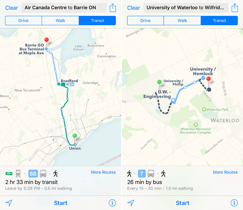
Here is the complete list of supported transit agencies:
- GO Transit (Buses & Trains)
- Toronto Transit Commission (TTC)
- MiWay — Mississauga
- Oakville Transit
- Brampton Transit
- York Region Transit (YRT)
- Viva Rapid Transit — York Region
- Hamilton Street Railway (HSR)
- Burlington Transit
- Grand River Transit (GRT) — Kitchener-Waterloo-Cambridge
- Guelph Transit
- Niagara Falls Transit and Niagara Region Transit
- St. Catharines Transit
- Welland Transit
- Niagara Region Transit
- WEGO — Niagara Falls
In addition, Reddit users found destinations (but not origins) for transit directions reach Barrie, Pickering, Ajax, Whitby, Oshawa, Peterborough, and Milton.
Craig Federighi, Apple’s SVP of Software Engineering, said that Toronto was one of 10 cities with transit support. Apple did not mention when transit details will be available for the rest of Canada.
[source] MacRumours, iPhone in Canada [/source]
MobileSyrup may earn a commission from purchases made via our links, which helps fund the journalism we provide free on our website. These links do not influence our editorial content. Support us here.
